Drone Building
Inspections Software
Create 3D
Models
Through Precision
Photogrammetry
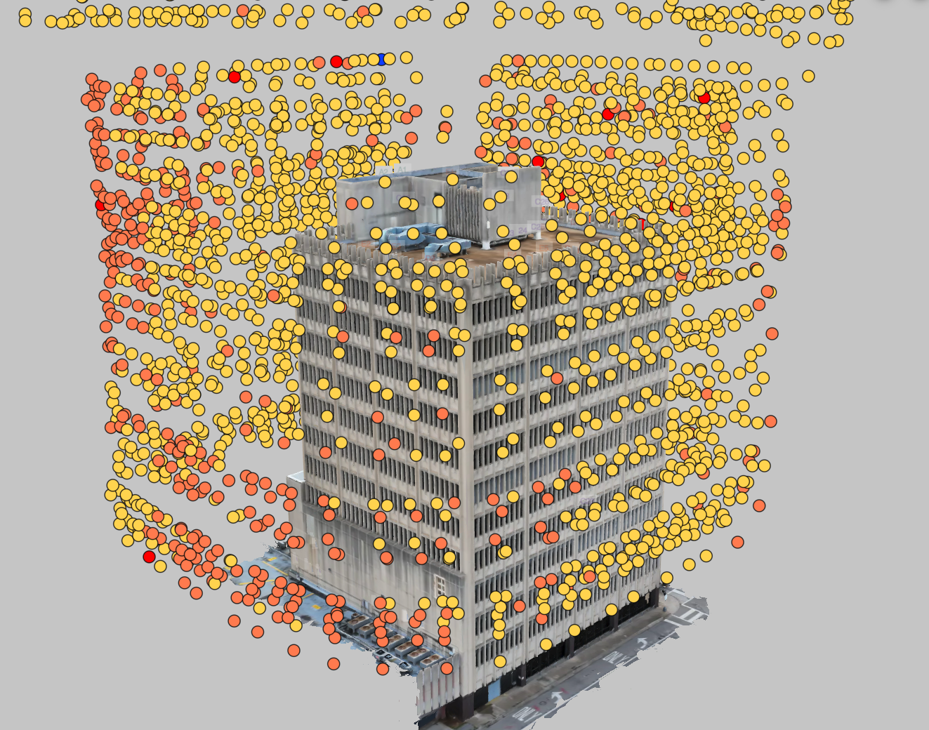
Upload, process, and transform your drone data into detailed 3D models that bring your structures to life. These models make it easy to visualise every facade, roof, and structural element, helping teams identify defects, assess conditions, and plan maintenance with confidence.
Collaborate seamlessly and streamline reporting with our drone building inspection software. Make data-driven decisions, all from one central platform.
Capture Roof
& Facades
Safely & Accurately
With Hammer you can position the drone at the same level as the base of the building. This will fetch the drone's current altitude and apply it to the mission as a parameter.
By manually positioning your drone so that it is level with the top of the building or structure, with Hammer Missions you will be able to retrieve the drone's current altitude and apply it to the top altitude parameter in the mission.
Process
Thermal Data
Compare Visual vs
Thermal Images
Hammer Missions allows you to process thermal data into a 2D Map and a 3D Model, annotate this dataset with thermal anomalies and share straight from your browser.
Frequently Asked Questions
Hammer Missions supports most DJI Enterprise drones for flight planning & AI analysis.
For 3D modelling & AI analysis, you can also use Skydio, Parrot or Autel drones.
You can find a complete list over here: https://www.hammermissions.com/supported-drones
Hear It from Our Customers
"Manually documenting and quantifying the facade deficiencies would've been nearly impossible without Hammer Missions. These tools, combined with engineering principles and careful review, have provided a baseline for saving and repurposing this landmark building"
- Clay Harman, Associate, Senior Engineer at RDH Building Science Inc.
Get Started