2D & 3D Processing
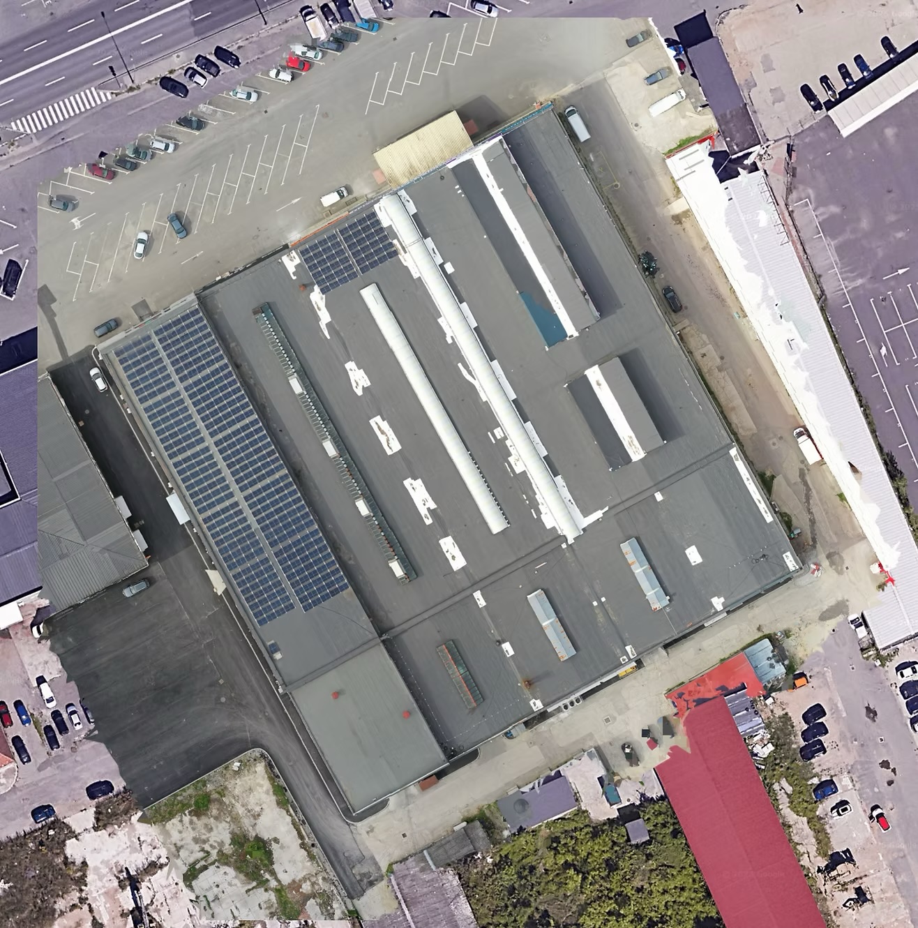
Generate 2D
Orthomosaic Maps
in High-Resolution
Create detailed, georeferenced maps that provide a true-to-scale view of roofs, facades, and wider sites — all stitched from precise aerial imagery.
Identify defects, measure areas, and validate site conditions with clarity that far surpasses traditional photographs or manual inspections.
Process Detailed
3D Models
for Deeper Insight
Generate accurate, fully navigable 3D reconstructions that reveal building geometry, structural form, and spatial relationships in a way 2D imagery can't match.
Spot defects, deformation, or irregularities from any angle, helping teams understand the true condition of roofs, facades, and surrounding assets.
Support planning, design, and maintenance workflows by giving stakeholders an interactive model that can be measured, annotated, and referenced across projects.
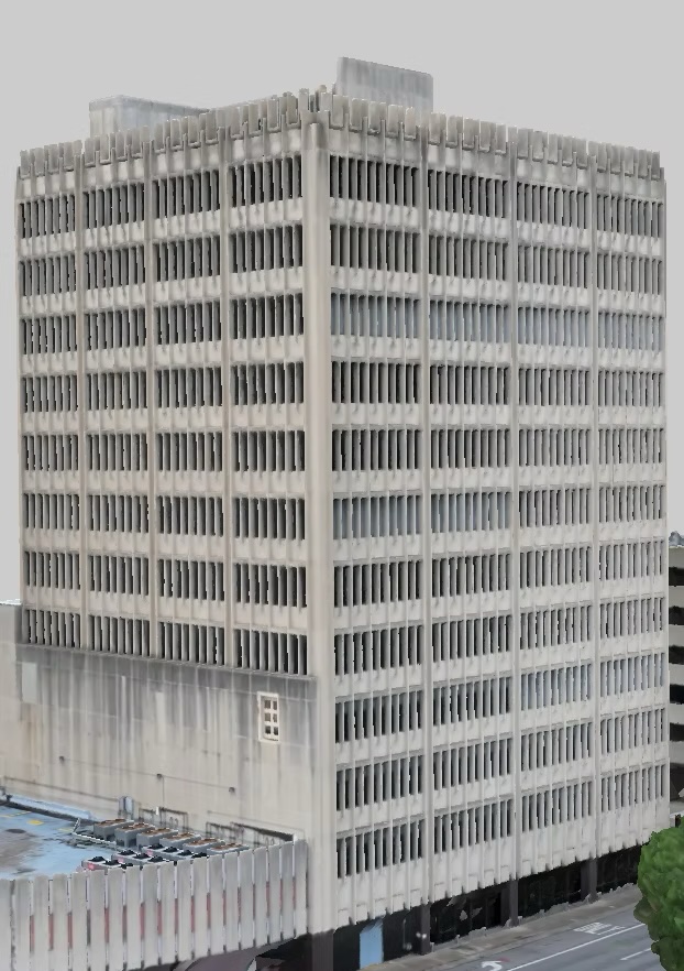
Build Digital
Twins
of Facades & Entire
Building Envelopes
Create precise digital replicas of single facades or full building exteriors, capturing geometry, materials, and conditions in high detail.
Enable ongoing monitoring by comparing scans over time, helping teams track deterioration, movement, or emerging defects.
Improve planning and documentation by providing a unified digital asset that supports inspections, renovations, asset management, and future design work.
Engineering-
Grade Accuracy
for Quality
Inspections
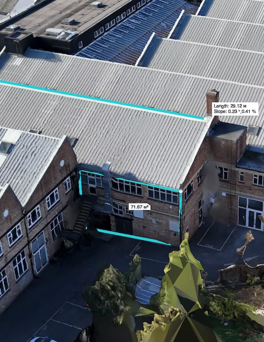
Generate high-precision 3D models with accuracy levels up to 1 cm (½ inch), enabling detailed measurements, condition assessments, and reliable comparison against design specifications.
Support engineering, surveying, and asset management workflows with data that meets professional standards for diagnostics, planning, and verification.
Export Your
Data
in Industry-Standard
Formats
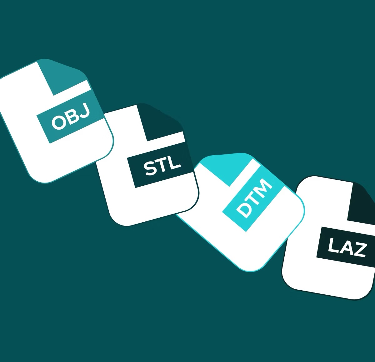
Download 2D orthomosaics in high-resolution .tiff files and export 3D models in formats like .tiff, .las, .obj .kml, and more.
Ensure compatibility with your wider toolset — CAD software, BIM platforms, and engineering workflows — without any extra conversion steps.
Utilize
Photogrammetry
to its Full Potential
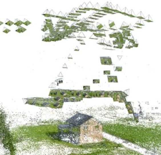
Transform aerial imagery into highly detailed 2D and 3D datasets, providing comprehensive insights for building inspections and condition assessments.
Enhance decision-making by extracting measurements, detecting anomalies, and visualizing structures in ways traditional inspections cannot achieve.
Frequently Asked Questions
Hammer Missions supports most DJI Enterprise drones for flight planning & AI analysis.
For 3D modelling & AI analysis, you can also use Skydio, Parrot or Autel drones.
You can find a complete list over here: https://www.hammermissions.com/supported-drones
Hear It from Our Customers

"Manually documenting and quantifying the facade deficiencies would've been nearly impossible without Hammer Missions. These tools, combined with engineering principles and careful review, have provided a baseline for saving and repurposing this landmark building"
- Clay Harman, Associate, Senior Engineer at RDH Building Science Inc.
Get Started