2D & 3D Measurements
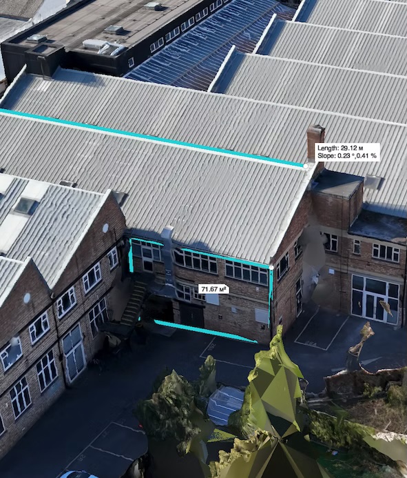
Inspection-Grade Measurements
Without the Manual Work
Capture accurate measurements for roofs, facades, windows, doors, and structural components, ensuring every detail is documented for inspections, maintenance, and planning.
Reduce manual measurement time and eliminate human error by relying on precise, repeatable data generated directly from your aerial datasets.
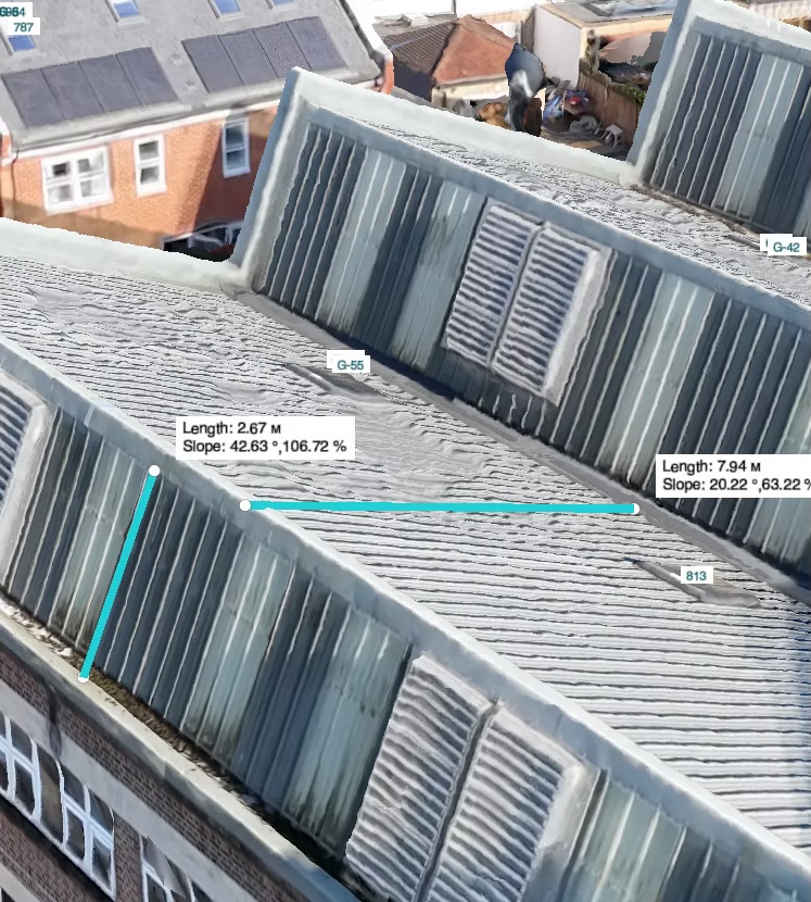
Capture Slope Measurements
with Accuracy
Measure gradients on pitched roofs, ramps, and pavements to assess drainage, safety, and structural performance with confidence.
Streamline inspections by generating consistent slope data directly from your aerial models—no need for manual tools or on-site measurements.
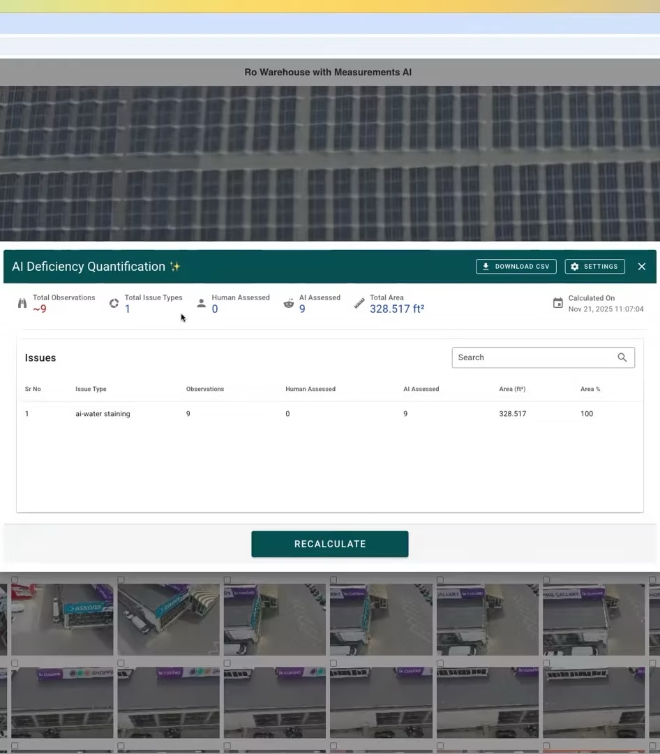
Quantify Deficiencies
and Generate Detailed Reports
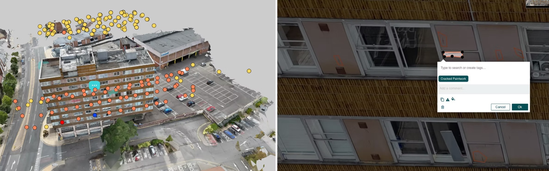
Identify and measure defects directly within your 2D or 3D model, ensuring every issue is captured with accuracy and consistency.
Export clear, comprehensive measurement reports that support maintenance planning, cost estimation, and stakeholder communication.
Frequently Asked Questions
Hammer Missions supports most DJI Enterprise drones for flight planning & AI analysis.
For 3D modelling & AI analysis, you can also use Skydio, Parrot or Autel drones.
You can find a complete list over here: https://www.hammermissions.com/supported-drones
Hear It from Our Customers

"Manually documenting and quantifying the facade deficiencies would've been nearly impossible without Hammer Missions. These tools, combined with engineering principles and careful review, have provided a baseline for saving and repurposing this landmark building"
- Clay Harman, Associate, Senior Engineer at RDH Building Science Inc.
Get Started